

The Mardi Himal trail is not a wilderness route. It is a well-used path, walked by thousands of trekkers, porters and villagers every year, with lodges spaced every few hours and a clear line of travel from the foothills up the ridge to Base Camp. In good weather, following it is straightforward. But like any mountain trail, it has its tricky spots: junctions where paths divide, side trails that look like the main route, forest sections where cattle tracks branch off, and a high, open ridge where fog, cloud or fresh snow can hide the way in minutes.
This guide explains how the trail is marked, where the main junctions are, where trekkers most often go wrong, and how to stay on route in poor visibility. For digital tools, see offline maps and GPS apps, and for the overall route, the map and route guide.
How the Trail Is Marked
| Marker | Where you see it | What it tells you |
|---|---|---|
| Signposts | Trailheads, villages, main junctions | Direction and sometimes time or distance to the next stop |
| Conservation area signboards | Checkpoints and key points | Route information, rules, maps |
| Lodge signs | Every settlement | Lodge names; often directions to the next camp |
| Painted marks | Rocks, trees and walls in places | Confirmation you are on the trail |
| Stone steps and paving | Lower trail, villages | The main path, especially near settlements |
| Cairns | Upper ridge, above High Camp | Route across open ground |
| Prayer flags | Viewpoints, passes, Base Camp | Landmarks and destinations |
Markings are not uniform or continuous. Signposts may be faded, painted marks sporadic, and cairns sometimes knocked down by weather or animals. Use them together with the shape of the trail itself, which is usually the clearest guide.
Reading the Trail Itself
On a well-used trail like Mardi Himal, the path is usually the best marker. The main trail is wider, more worn and more consistent than side paths. It often has stone steps or paving near villages, erosion from heavy use in the forest, and a visible line across the grassy ridge. Side paths tend to be narrower, fainter and less trodden, often leading to a house, a field, a water source or a grazing area. If the path suddenly becomes faint, overgrown or leads toward a farmhouse, you have probably left the main trail. Stop, look around, and retrace your steps to the last point where you were sure.
Key Junctions
Kande to Australian Camp. From the road at Kande, the trail climbs through fields and forest to Australian Camp. There are a few side paths to houses on the way, but the main stone-paved trail is clear. See the Kande trailhead guide.
Pothana. Here the trails from Kande and from Dhampus meet, and there is a checkpoint where permits are checked. Continue west toward Pitam Deurali. See Pothana village.
Pitam Deurali. This is the most important junction on the lower trek. The Mardi Himal trail turns north into the forest toward Forest Camp, while the main trail continues west and downhill toward Bheri Kharka, Tolka and Landruk on the route to Annapurna Base Camp. Many trekkers heading for Mardi Himal have mistakenly followed the Landruk trail downhill. Look for the signpost and check with your guide. See Pitam Deurali and the Landruk connection.
Low Camp. On the descent, the trail to Siding branches east from near Low Camp, while the main trail continues south along the ridge toward Forest Camp. Make sure you take the right one for your itinerary. See Low Camp to Siding.
High Camp. Above High Camp, the trail to the Upper View Point and Base Camp climbs steeply up open slopes. In the dark of summit morning, it is easy to follow other headlamps, but also easy to drift onto side paths. Stay with your guide.
Confusing Spots in the Forest
The forest between Pitam Deurali and Low Camp is generally easy to follow, as the trail is well worn and there are few junctions. However, cattle and herders use the forest, and their paths sometimes branch off the main trail, particularly near clearings and seasonal grazing areas. After heavy rain, water may run down the main trail, and trekkers sometimes follow a drier side path that fades out. Fallen trees or landslides can force temporary diversions. If you are unsure, stop and wait for your group or look for the more worn path. See Forest Camp and trail hazards.
Navigation on the Ridge
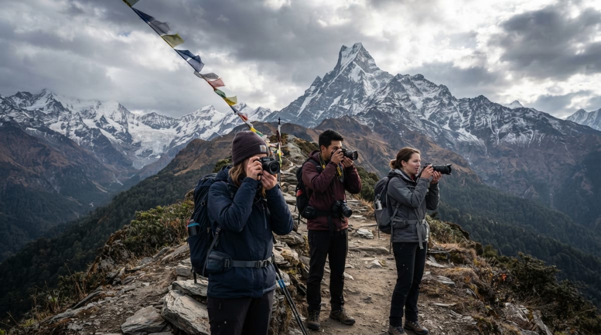
Above Low Camp, the trail follows an open, grassy ridge to High Camp and on to Base Camp. In clear weather, navigation is simple: the trail is visible, the ridge is obvious, and the mountains ahead show the way. In fog, cloud or snow, it can be much harder. The trail can fade into the grass, cairns may be hidden, and the ridge has steep drops on both sides. This is where most navigation problems on the trek happen.
In poor visibility, stay close to your group and guide, and keep the person ahead in sight. Walk more slowly, and stop if you cannot see the trail. Avoid shortcuts across open slopes, which can lead to steep ground. If you become separated, stay where you are and call out, rather than wandering in the fog. See the Mardi Himal ridge and trekking in fog.
Snow and Ice
In winter, and occasionally after spring or autumn storms, snow can cover the upper trail above Low Camp. Fresh snow hides the path, cairns and markings, and it can make steep sections slippery and hazardous. Guides usually follow the tracks of earlier groups or break a new trail based on their knowledge of the terrain. In deep snow, the route above High Camp may not be safe, and your guide may decide the Upper View Point is the limit. Microspikes are often needed. See snow on the Mardi Himal Trek and microspikes for Mardi Himal.
Navigating in the Dark
The summit hike starts before dawn, so you will walk the steep section above High Camp by headlamp. In the dark, your world shrinks to the circle of light around your feet, and it is easy to lose the trail or drift onto a side path. Use a bright headlamp with fresh batteries, walk in single file behind your guide, and keep the person ahead in sight. Do not start ahead of the group or stray from the line of headlamps. As the sky lightens, the trail and the ridge become clear. See hiking to Base Camp in the dark and choosing a headlamp.
Asking for Directions
One of the pleasures of trekking in Nepal is how willing people are to help. Lodge owners, porters, guides from other groups and villagers are usually happy to point the way. Simply name your destination, such as "Forest Camp?" or "Low Camp?", with a questioning tone and a smile, and point in the direction you think it is. Most people on the trail understand the names of the main stops. A few words of Nepali, such as "namaste" (hello) and "dhanyabad" (thank you), go a long way. See useful Nepali phrases.
Signposts and Times
Signposts and lodge boards often show walking times to the next stop. These are useful but should be treated with caution. They are usually based on a local's pace, which is much faster than most trekkers, or on an average that does not account for altitude, weather or fatigue. As a rule, add 30 to 50 percent to posted times, especially on uphill sections and at higher altitudes. Your guide will give you a more realistic estimate. See daily walking hours.
What to Do If You Get Lost
- Stop as soon as you realize you are not on the trail. Do not keep walking in the hope of finding it.
- Stay calm and think about when you last saw the trail or a marker.
- Retrace your steps to the last point where you were sure of the route.
- Check your offline map for your position relative to the trail.
- Call out to your group or guide, and use a whistle if you have one.
- Stay put in fog or darkness rather than wandering, and wait for help.
- Use your phone to call your guide if you have signal.
See emergency communication and the safety guide.
The Role of Your Guide
Since 2023, foreign trekkers in the Annapurna Conservation Area have been required to trek with a licensed guide, and navigation is one of the clearest reasons why. Guides know every junction, side path and shortcut, and they know how the trail changes with the seasons. They can read the weather, decide when to turn back, and find the route in fog or snow. They also know the lodges and the people, so they can get help quickly if needed. With a guide, you can focus on enjoying the trek rather than worrying about the route. See is a guide mandatory for Mardi Himal? and questions to ask your guide.
Staying with Your Group
Most navigation problems on Mardi Himal happen when trekkers walk ahead of or behind their group and lose sight of the guide. It is natural to walk at your own pace, and guides do not expect everyone to walk in a tight line. But at junctions, in fog, in the dark and on the upper ridge, stay close. If you want to walk ahead, agree with your guide on where to wait, usually at the next lodge or junction. If you fall behind, let the guide know so they can slow down or send someone back. See pacing on the trek.
Navigation Section by Section
| Section | How easy to follow | Watch out for |
|---|---|---|
| Kande to Australian Camp | Easy; stone-paved trail | Side paths to houses and fields |
| Australian Camp to Pitam Deurali | Easy; busy trail | The junction with the Dhampus trail at Pothana |
| Pitam Deurali junction | Moderate | Taking the Landruk trail by mistake |
| Pitam Deurali to Low Camp | Easy to moderate; forest trail | Cattle paths, diversions after landslides |
| Low Camp to High Camp | Easy in clear weather | Fog on the open ridge |
| High Camp to Base Camp | Moderate; open slopes | Darkness, fog, snow and ice |
| Low Camp to Siding | Moderate; steep forest | The turnoff near Low Camp; side paths near fields |
How Conditions Change Through the Year
The trail looks different in each season, and that affects navigation. In autumn, the trail is dry, well trodden and busy, and there are usually other groups in sight, which makes route finding easy. In spring, afternoon cloud and haze are more common on the ridge, so plan to cover the open sections in the morning. In the monsoon, fog and rain can last all day, the forest trail becomes muddy and braided as people seek drier ground, and fewer trekkers are around to follow. In winter, snow can cover the upper trail and hide cairns, and the short days leave less margin for delays. In any season, the golden rule is the same: when visibility drops, slow down and stay together. See weather safety on the ridge and trail conditions.
Useful Items for Navigation
- A smartphone with offline maps and saved waypoints
- A power bank to keep your phone charged
- A bright headlamp with spare batteries for summit morning
- A whistle for signaling if separated from your group
- A paper map of the Annapurna region as a backup
- Bright-colored outer clothing, which is easier to spot in fog
See the complete packing list.
Navigation Tips
- Learn the names and order of the main stops before you start.
- Download an offline map and save key points.
- Look for signposts and lodge boards at every settlement.
- Take the more worn path when in doubt.
- Be extra careful at Pitam Deurali and Low Camp junctions.
- Stay with your group in fog, snow and darkness.
- Add extra time to posted walking times.
- Ask locals and lodge owners when unsure.
Trek Mardi Himal with a Local Guide
On our treks, experienced local guides handle all navigation, so you can enjoy the forest, the ridge and the mountains without worrying about the route. See the 5-day Mardi Himal Trek from Pokhara, the 9-day trek from Kathmandu or the 3-day Short Mardi Himal Trek, and contact us to book.